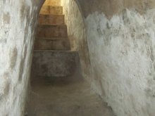
Rung Sac Military Base


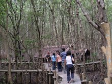
Rung Sac Special Zone was the name given during the Vietnam War by the South Vietnam Government and American forces to a large area of the Sac Forest which is today known as the Can Gio Mangrove Forest. It was also known as the "Forest of Assassins.
The name was derived from a misinterpretation of the Vietnamese word Sat to mean "assassin". The actual name, Rung Sac, is a Sino-Vietnamese word that roughly translated to "salty forest," a reference to its proximity to the saltwater marshes of the delta.
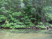
The Sac Forest comprises approximately 1,256 square kilometres (485 sq mi) of tidal mangrove swamp including over 4,800 kilometres (3,000 mi) of interlocking streams located approximately 36 kilometres (22 mi) south-southeast of Saigon. Its boundaries in 1962 were Nha Be District and Nhon Trach District to the north, Long An Province and Tien Giang Province to the west, Phuoc Tuy Province to the east and the South China Sea to the south.
On 8 June 1962, the South Vietnamese Government organized the Rung Sat Special Zone as a military region in order to defend the Long Tau River, the main shipping channel from Saigon to Vung Tau.
The Viet Cong established base areas in the zone from the late 1950s and in April 1966 COSVN designated the area as the D-10 Special Military Zone.
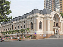
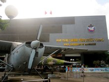
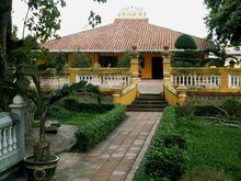
Attractions in Ho Chi Minh